What is Harvesting?
It’s a comprehensive dashboard built for farmers for them to see latest information on hyper-local weather, soil and crop analysis. We collect billions of data points from various sources related to agriculture and convert them into meaningful insights for farmers.
Why build Harvesting?
Simply put, we have lot more mouths to feed in the world than we are producing today, and situation is going to go worse every year. We believe that using data we can optimize input and output, making same field more productive. Here is the slide desk which covers this aspect in more detail

Who is our target audience?
We would like to reach out to every farmer in the world, but best way to get ball rolling is by reaching out to farmers who own relatively large farms and already using some hi-tech solutions such as using drones to collect data. We already have users in Canada, Australia, Mexico and USA. For marginal farmers, we are in discussion with various state (government) and non-state agencies who can use our big-data solution to create better policies.
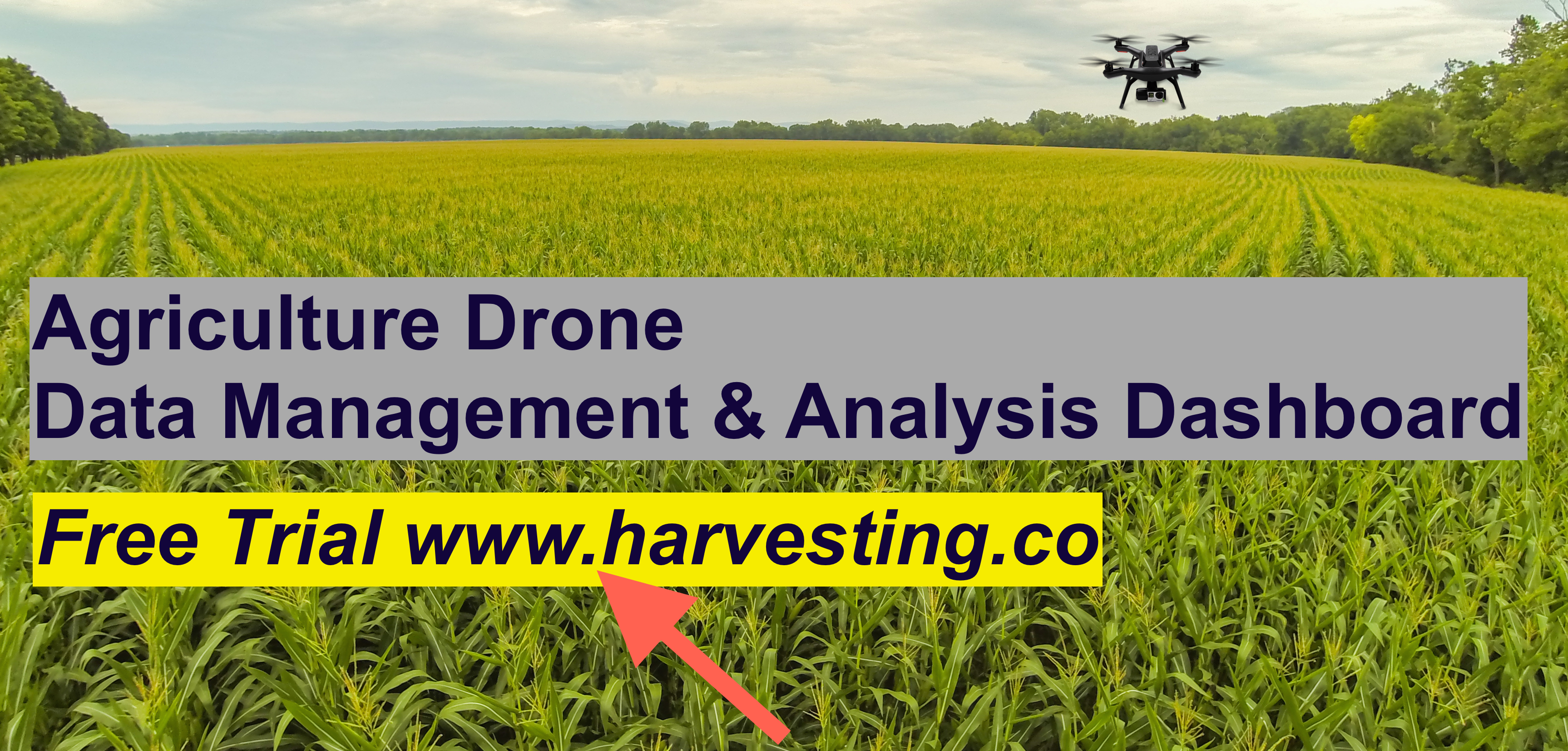
How to sign-up for free public preview?
Visit https://www.harvesting.co and click on ‘free trial’ button
- Upload and manage NDVI, Ortho processed imagery from drones.
- Create time series of your imagery to see how its changing over the period of time.
- View satellite image of your farm.
- See hyper-local historical weather information as well seven days forecast.
- See water-stress in your area (mostly useful for rain harvested farms)
- Analyze crop-growth for following supported crops Barley, Canola, Cotton, Oat, SugarBeet, Sunflower, Wheat, Corn
- See soil information, a pie-chart which shows what type of soil you have on your farm.
What functionality is coming in the future?
There is a lot in the pipeline, but our primary focus would be to make it easy for agriculture drone operators/farmers to easily manage and share their data online and get meaningful insights on click of the button. Some of things we are exploring includes auto-detection of certain pests, digital classification, detailed field health reports, etc.
Thank you so much again, please visit our website and sign-up for free trial. Would love your feedback and suggestions.
RuchitG